New Guinea is the world's second-largest island after Greenland and contains the third largest tropical rainforest after the Amazon Basin and Congo Basin. Papua New Guinea (PNG) comprises the eastern portion of the New Guinea Island as well as numerous islands and archipelagos. New Guinea is a well-known centre for biological endemism and species diversification. Despite their extent, size and rich diversity, PNG forests are poorly known scientifically.
Section 47 of the Forestry Act, 1991 (as amended) stipulates that the National Forest Plan shall be drawn up based on a certified National Forest Inventory (NFI). As PNG has not yet conducted such an inventory, the PNGFA is conducting such an NFI as part of the European Union/UN-REDD funded project on the Multi-purpose National Forest Inventory.
The objectives of PNG’s NFI are to;
- Improve our understanding of PNG forest for better planning and management for people in PNG to receive sustainable ecosystem services;
- Identify economic and social values of forest in PNG;
- Contribute to international actions to combat climate change impacts and biodiversity loss.
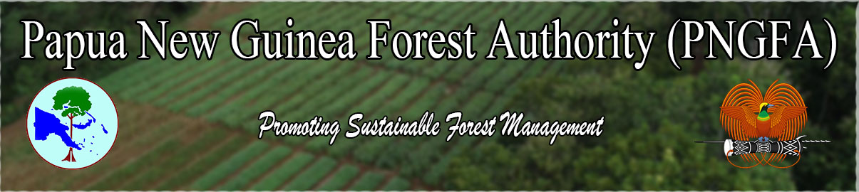
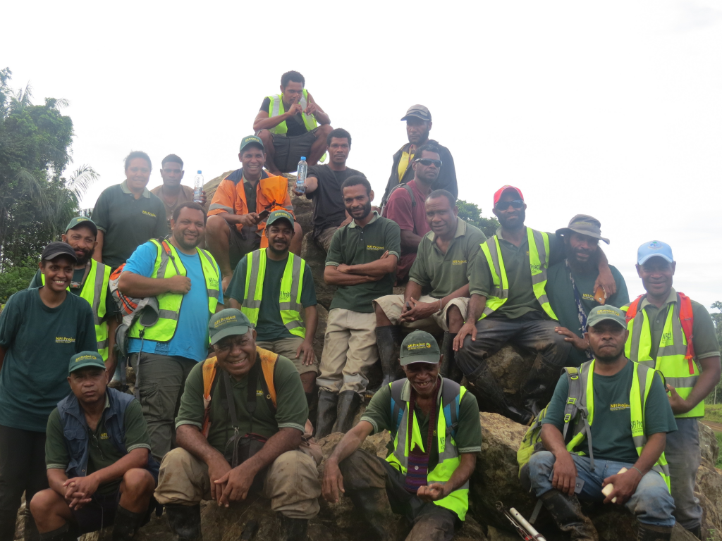
Basically, PNG’s NFI is based on remote sensing-based study and field assessment. The remote sensing-based study provides information about the forest and land use, and their historical changes which then determined the design of field assessments, which initially was targeting 1,000 clusters (points).
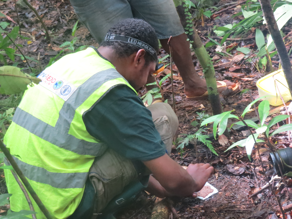
PNG’s NFI is very unique and the advanced characteristics are that it includes both flora and fauna biodiversity components and soils. The capacity for implementing the assessment was built among PNGFA and partner organizations through extensive pieces of training conducted in-country mainly.
The NFI was launched by the then Prime Minister, Rt. Hon. Peter O’Neil in March 2016. Rolling out of the field assessment commenced in May 2017. A total of 158 plots in 42 clusters in seven provinces have been assessed so far (as of November 2019).
Implementation of the field assessment is currently stopped due to lack of funding.
Initial NFI findings have contributed to the development of national policies, national planning, and international reporting on climate change and forestry. REDD+ Forest Reference Level was established using NFI data and submitted to UNFCCC in 2017. National REDD+ Strategy was formulated in 2017 based on the deforestation and forest degradation driver study using NFI data. PNG submitted the first Biennial Update Report (BUR) and its REDD+ Technical Annex to UNFCCC in 2019. Much of the GHG emission data of the AFOLU sector (which is most significant and complex in the country) in the BUR and the REDD+ Technical Annex was derived from the NFI data.
The main external funding source for the NFI is from the European Union (EU), UN-REDD, Forest Carbon Partnership Facility (FCPF), Mountain Partnership, Crawford Fund and with technical and financial support from the Food and Agriculture Organisation of the United Nations (FAO). Other collaborators to the NFI project are New Guinea Binatang Research Center (BRC), PNG University of Technology (UNITECH) and the University of Papua New Guinea (UPNG).
NFI methodologies and findings are available to download from the link below.
General information
Methodologies
- 1st National Forest Inventory Papua New Guinea field manual
- A field guide for sampling and describing soils in the Papua New Guinea National Forest Inventory
NFI findings
- Forest and land-use change in Papua New Guinea 2000 – 2015
- Proceedings of an NFI research conference held in Lae, Papua New Guinea, 14-15 February 2018
- Proceedings of the 2nd National Forest Inventory Research Conference held at the PNG University of Technology, Lae, Papua New Guinea